

Features
Everything you need to track what matters
From live tracking to vehicle telematics — one platform for every tracking need.
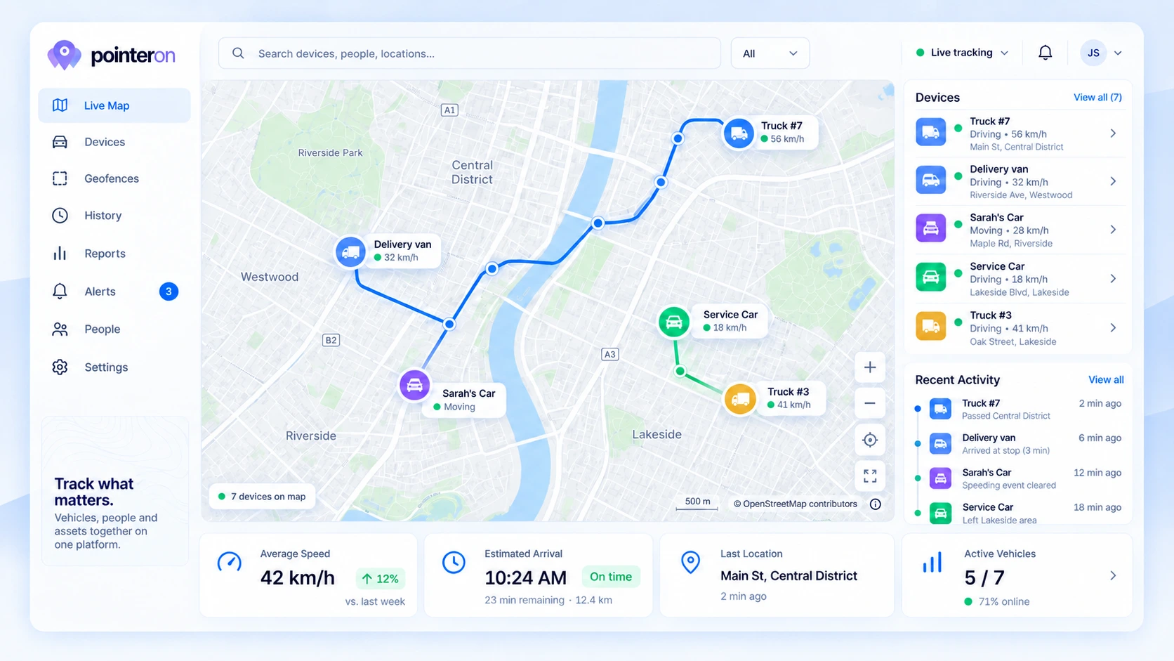
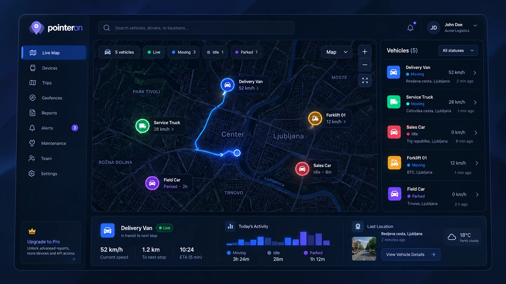
See everything move in real time
Live Map & Tracking
- Real-Time Location Updates
WebSocket-powered live GPS updates on an interactive map. No refresh needed.
- Multi-Device Tracking
View all your assets on a single map — vehicles, team members, pets, and equipment.
- Trip Detection
Automatic trip segmentation with start/end points, duration, and distance.
- Route Playback
Replay any journey with full route visualization, stops, and speed data.
- Asset Categories
Organize assets into hierarchical categories with custom icons and colors.
- Map Style Picker
Choose from multiple map styles to suit your workflow and preference.
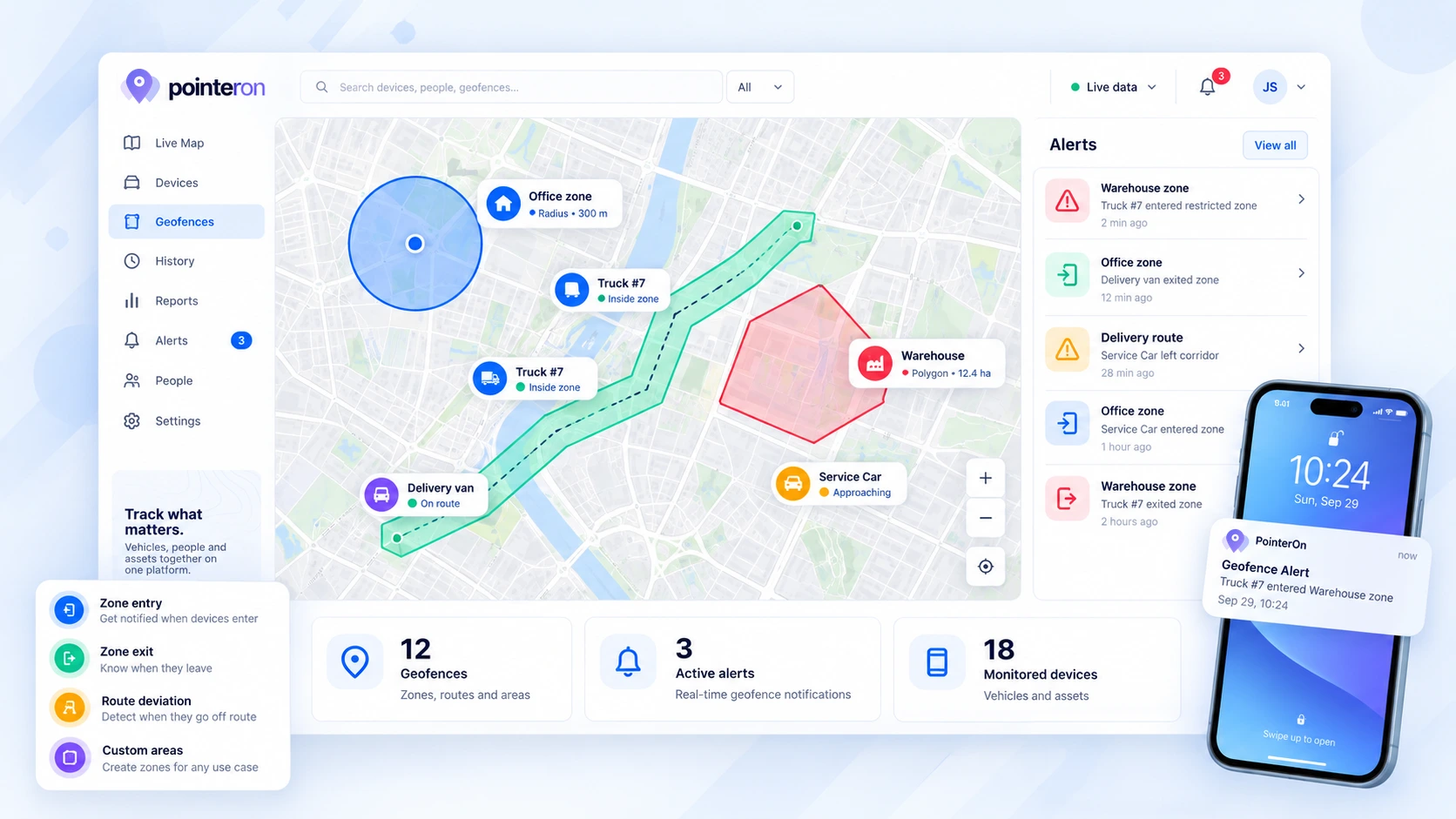
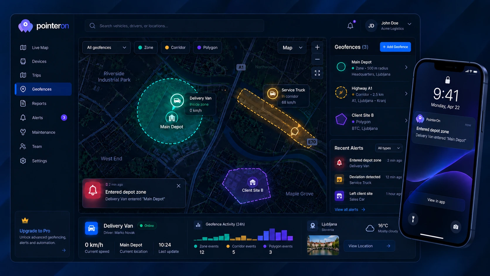
Define places and receive relevant alerts
Geofencing & Alerts
- Custom Geofence Shapes
Draw circles, polygons, and rectangles around any area on the map.
- RouteGuard™ Corridors
Define route corridors with checkpoints and get alerted on deviations.
- Entry & Exit Triggers
Receive alerts when a reported location crosses a geofence boundary.
- Dwell Detection
Get notified when an asset stays inside a zone longer than expected.
- Speed Triggers
Set speed limits per geofence and get alerted on violations.
- Multi-Channel Notifications
Receive alerts via email, push notifications, SMS, or webhooks.
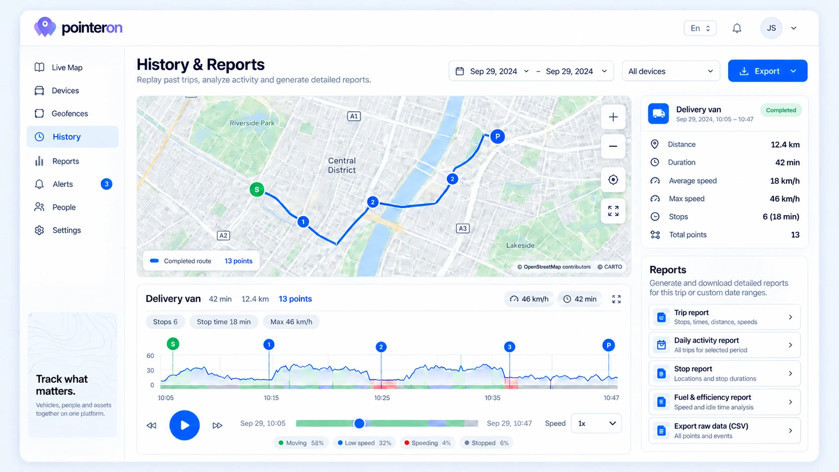
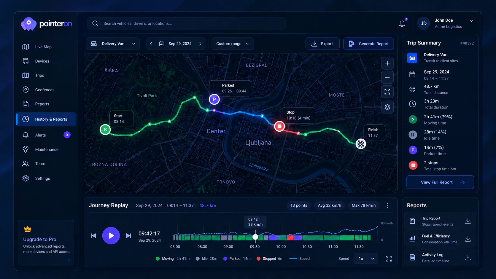
Review recorded journeys and stops
History & Reports
- Location History
Review recorded locations with timestamps, speed, and heading, within your plan’s retention period.
- Trip Reports
Detailed trip analysis with distance, duration, stops, and idle time.
- Heatmap Analysis
Visualize frequently visited areas with density heatmaps.
- Data Export
Export location data and reports in CSV, PDF, or JSON formats.
- Scheduled Reports
Automated reports delivered to your inbox on a recurring schedule.
- Speed & Idle Analytics
Track speed trends, idle times, and driving behavior over time.
Choose a supported device
Device Support
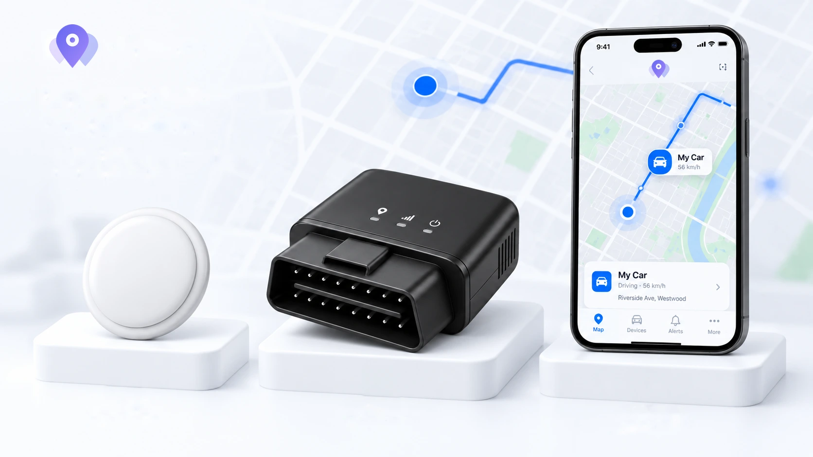
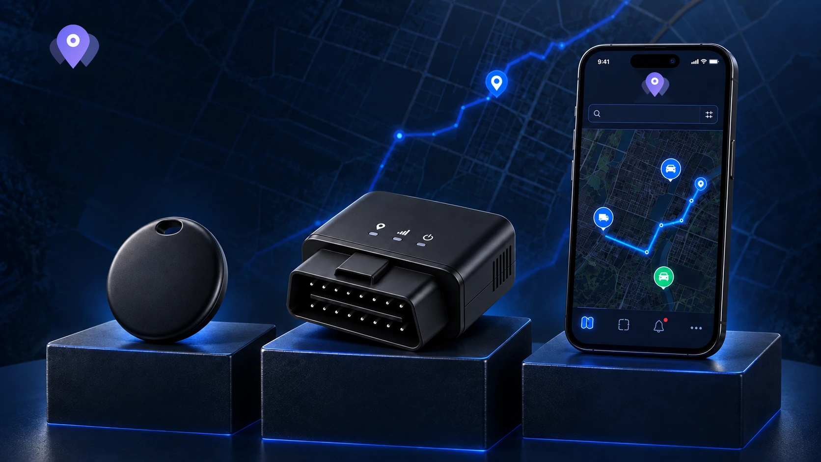
- AirTags / Beacons
Connect AirTags, Find My items or supported beacons through the appropriate integration. Updates depend on the setup.
- Find My Devices
Track iPhones, iPads, and Macs through Apple's Find My network.
- GPS Trackers
Support for Teltonika, GT06, H02, and other popular GPS hardware.
- Smartphones
Share locations between iOS and Android devices for family safety or workforce management.
- OBD Vehicle Data
Read engine diagnostics, fuel level, RPM, and battery status from OBD trackers.
- Custom Sync Intervals
Configure update frequency per device — from every 3 seconds to 15 minutes.
Collaborate with your entire team
Team & Organization
- Multi-User Access
Invite unlimited team members to your organization.
- Role-Based Permissions
Assign owner, admin, manager, or member roles with granular access control.
- Permission Groups
Create custom permission groups and assign them to multiple users at once.
- Activity Audit Log
Track every action taken by team members for full accountability.
- Email Invitations
Invite new team members via email with a simple acceptance workflow.
- Organization Settings
Manage billing, preferences, and feature access from one place.
- Tracking Consent
Built-in GDPR consent management for person tracking. Automated consent requests, public consent pages, and full audit trail.
Build on top of Pointeron
API & Integrations
- REST API
Full-featured API for managing assets, locations, geofences, and alerts programmatically.
- API Key Management
Create scoped API keys with rate limiting and usage tracking per organization.
- Webhooks
Receive real-time event notifications for geofence triggers, device status, and more.
- Location Ingest API
Push location data from your own applications and custom hardware.
- Webhook Delivery Tracking
Monitor webhook deliveries with automatic retries and failure logs.
- API Usage Analytics
Track API consumption with real-time usage stats and historical trends.
const response = await fetch("https://pointeron.com/api/v2/assets", {
  method: "GET",
  headers: {
    "Authorization": "Bearer YOUR_API_KEY",
    "Accept": "application/json",
  },
});

const data = await response.json();
Server-side example. Keep your API key private.
Deep insights from your fleet
Vehicle Telematics
- Engine Diagnostics
Monitor RPM, engine temperature, load, and ignition status in real time.
- Fuel Tracking
Track fuel level, consumption, and economy across your entire fleet.
- Crash & Towing Detection
Automatic alerts for crash events and unauthorized towing.
- Diagnostic Trouble Codes
Read and track DTC fault codes from vehicle OBD systems.
- Maintenance Scheduling
Set maintenance reminders based on mileage, engine hours, or calendar intervals.
- Battery Monitoring
Track battery state of charge and get alerts before devices go offline.
UNDERSTAND YOUR LOCATION DATA
Know what to expect.
A few practical answers before you connect your first device.
How tracking worksDoes every device update in real time?
No. Find My items depend on nearby participating devices and scheduled syncs. GPS trackers depend on their reporting settings and connection. Smartphone updates depend on permissions, connectivity and operating-system limits.
Can an alert arrive after an asset crosses a boundary?
Yes. A geofence can only be evaluated from the locations PointerOn receives. Delayed or missing positions can delay an alert or leave a crossing unobserved. Tracking is not an emergency or safety service.
Are all features included with every plan?
Plans have different limits, retention and entitlements. Device fees are separate from the base plan where listed. Check current pricing before choosing a plan or device.
Compare plans and device feesWhat about tracking people?
People must know about and consent to location sharing, and be able to stop it. Use consenting smartphone sharing for people. AirTags and Find My accessories are intended for belongings, not for tracking people.
Read the privacy policy

Ready to get started?
Create an account and choose the plan that fits your devices. Feature availability depends on your plan and device.